Map setup · Australia
LiDAR Relief
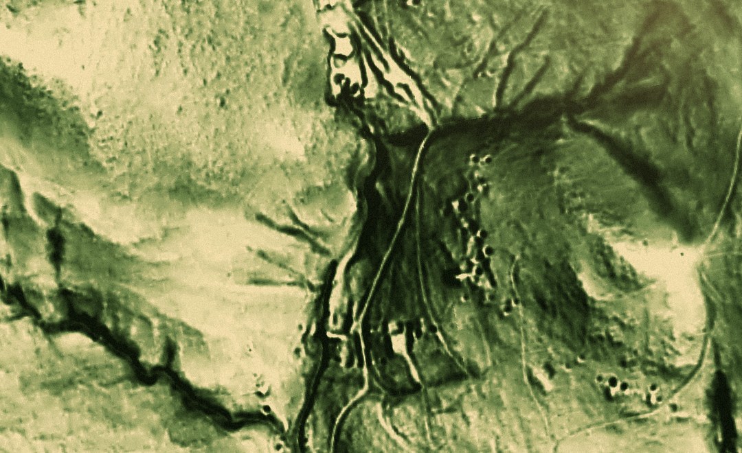
One-tap setup for bare-earth LiDAR relief, across every state that publishes it: New South Wales, Queensland and Tasmania. Trees and buildings are stripped away, so old workings, races, dam walls and creek lines show up as ground rather than scrub. No offline areas: paint your own over the country you work.
What installing it does
LiDAR Relief · map setup, 4 layers
Putting this on your map
Taking a layer from the Library onto a stack, and tuning how it draws, is a short guided tour on your own map.
How do I add map layers to Patchly?More for Australia
- Map setup LiDAR Coverage NSW · QLD · TAS Australia
3 layers 1 map setup
-
 Active Fires Where satellites saw fire burning in the last three days.
 -
 Australia Magnetics (RTP-1VD) National aeromagnetics, sharpened to show the structures that control gold.
 -
 Australian Watercourses Rivers, creeks, gullies and filled water bodies across Australia, from the Geofabric.