
Fire activity · Australia
Active Fires
Where satellites saw fire burning in the last three days.
What it shows
Satellite heat detections across Australia, from the national bushfire monitoring service run by Geoscience Australia. Heat draws as a glow rather than a pin, and glows over the same ground add together, so a fire seen a hundred times over three days reads as one hot region instead of a hundred separate marks. A brighter glow means a fiercer fire: the satellite measures how much heat is coming off the ground. Colour is how recently it was seen, running from white-gold for heat measured in the last few hours, through orange, to a dull ash for ground last seen hot days ago. Only heat seen recently can burn white, so the brightest edge of a fire is where it is moving now. How sharp a glow is shows how well the satellite could place it: a tight glow is a fix good to a few hundred metres, and a wide, soft one with no bright centre came from the fast-scanning satellite that looks every ten minutes but can only place heat to about two kilometres. Tap a glow to see when it was first and last seen hot, how many passes reported it, how fierce it was and how closely it was placed. Read it as heat rather than as a confirmed fire, because a satellite measures temperature and cannot tell what is producing it. Heat that returns to the same spot month after month is filtered out before publishing: a fire does not burn in one place for months, while a smelter, a gas flare or a paddock burnt off every year does, and a marker on an operating mine would send you to the wrong place. That filter needs several months of history to recognise a heat source, so somewhere that has only just started running hot can still show up. Fires under about a hectare are usually too small to detect, and cloud hides whatever sits under it.
Before you rely on it
A snapshot, not a live feed: an empty map means nothing was detected up to the time above, not that nothing is burning now. Every glow is a heat reading rather than a confirmed fire, and its size is how precisely the satellite could place it, never the size of the fire. The sharper glows come from satellites that pass only a few times a day, so ground can burn for hours before one of them sees it. Ground that stays hot month after month is left out as industry, which can also hide a fire on a mine site.
Putting this on your map
Taking a layer from the Library onto a stack, and tuning how it draws, is a short guided tour on your own map.
How do I add map layers to Patchly?More for Australia
-
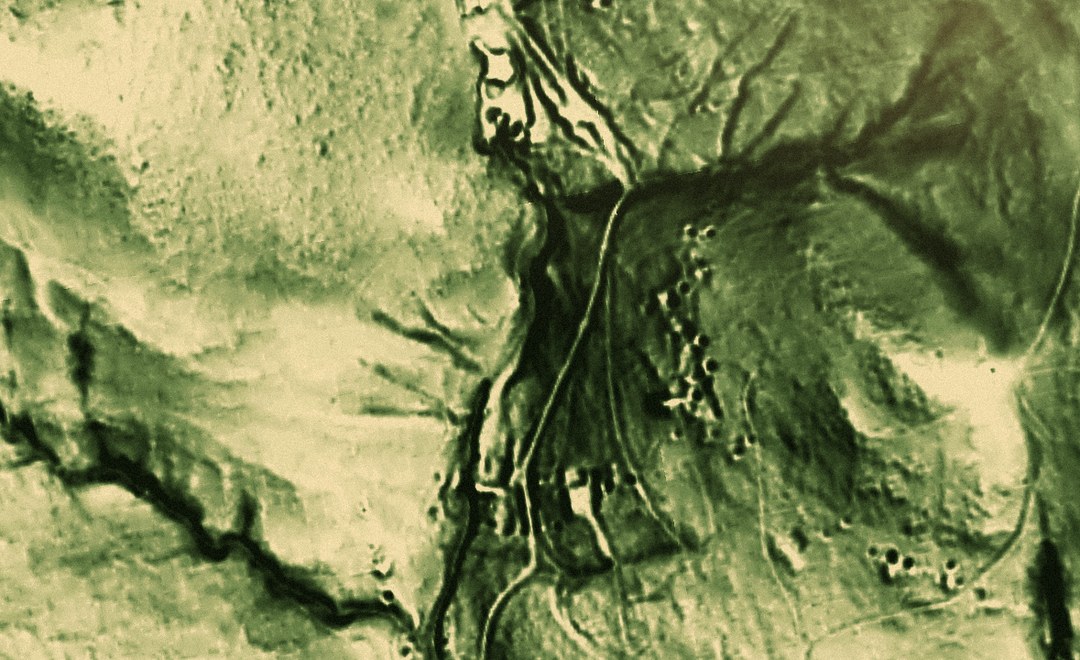 Map setup LiDAR Coverage NSW · QLD · TAS Australia
 3 layers 1 map setup
- Map setup Pro LiDAR Relief NSW · QLD · TAS Australia
3 layers 1 map setup
-
 Australia Magnetics (RTP-1VD) National aeromagnetics, sharpened to show the structures that control gold.
 -
 Australian Watercourses Rivers, creeks, gullies and filled water bodies across Australia, from the Geofabric.