
Geophysics · Australia
Australia Magnetics (RTP-1VD)
National aeromagnetics, sharpened to show the structures that control gold.
What it shows
An aeromagnetic image of the whole of Australia, flown from aircraft, that maps the magnetism of the rocks below, including under soil and cover where nothing shows at the surface. This is the reduced-to-pole first vertical derivative of the national magnetic grid, a processed version that centres each anomaly over its source and sharpens the edges, so faults, shear zones, intrusion margins and ironstone stand out as lines and patterns. These structures are where fluids moved and gold can sit. It covers every state at one consistent resolution, so use it anywhere; where a state has its own finer magnetics layer, that one shows more detail, though Tasmania currently ships this same national grid. It is a picture map, so it is look-only: tapping, recolouring and filtering are not available. Read it alongside geology to trace a fault or contact into new ground.
Putting this on your map
Taking a layer from the Library onto a stack, and tuning how it draws, is a short guided tour on your own map.
How do I add map layers to Patchly?More for Australia
-
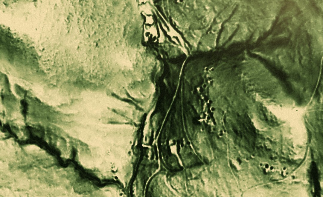 Map setup LiDAR Coverage NSW · QLD · TAS Australia
 3 layers 1 map setup
- Map setup Pro LiDAR Relief NSW · QLD · TAS Australia
3 layers 1 map setup
-
 Active Fires Where satellites saw fire burning in the last three days.
 -
 Australian Watercourses Rivers, creeks, gullies and filled water bodies across Australia, from the Geofabric.