
Terrain · Australia
Australian Watercourses
Rivers, creeks, gullies and filled water bodies across Australia, from the Geofabric.
What it shows
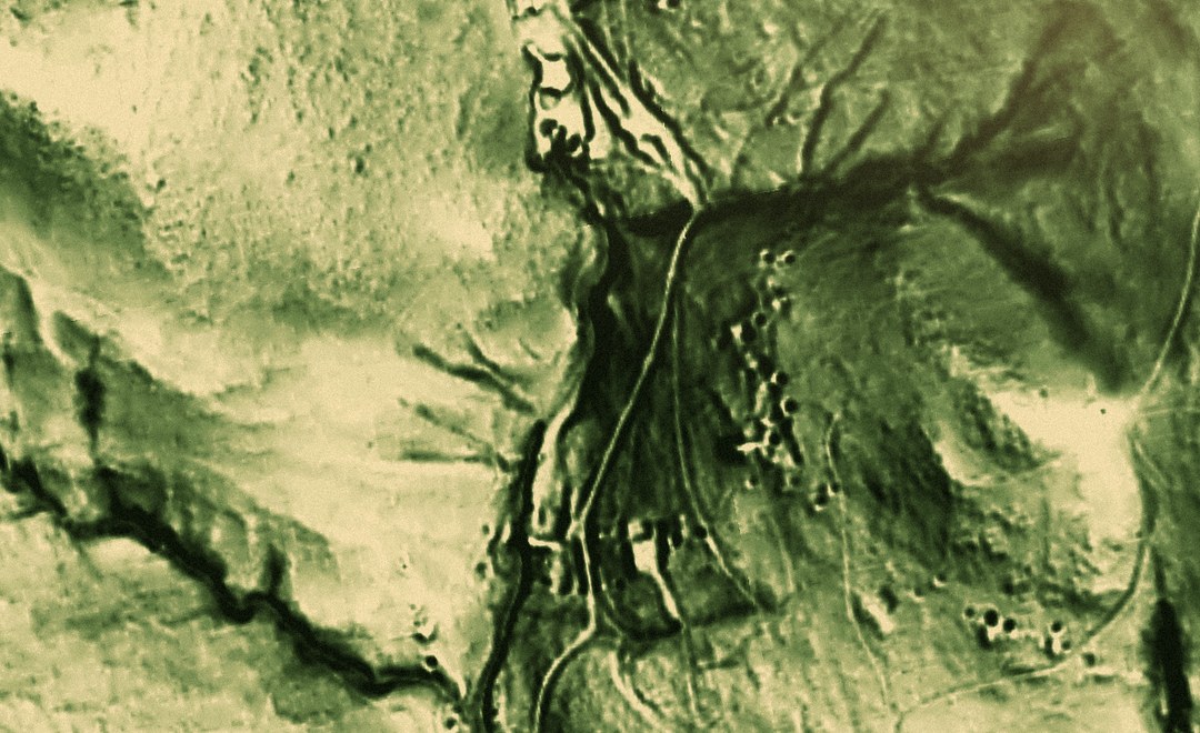
The national stream and water-body network of Australia, from the Geofabric (the Australian Hydrological Geospatial Fabric, mapped by the Bureau of Meteorology and Geoscience Australia). It carries two things. First, the stream-line network, where major rivers read bolder than minor creeks and gullies, and channels are flagged by whether they hold water year-round or only run after rain. Second, filled water areas, so lakes, reservoirs, swamps, and wider river channels show as shapes rather than lines. Gold concentrates in drainages, so the channel network is a guide to where to look. Catchment boundaries are not included. The map is drawn at a national scale, so a small gully on the ground may not appear.
Putting this on your map
Taking a layer from the Library onto a stack, and tuning how it draws, is a short guided tour on your own map.
How do I add map layers to Patchly?More for Australia
-
 Map setup LiDAR Coverage NSW · QLD · TAS Australia
 3 layers 1 map setup
- Map setup Pro LiDAR Relief NSW · QLD · TAS Australia
3 layers 1 map setup
-
 Active Fires Where satellites saw fire burning in the last three days.
 -
 Australia Magnetics (RTP-1VD) National aeromagnetics, sharpened to show the structures that control gold.